monitoringwhatmatters

Digital geo solutions for nature,environment and construction
GEOLYTIC develops digital solutions for recording, analysing and monitoring natural processes and natural hazards.
We combine geosciences with modern technology to identify risks early and enable well-founded decisions.
Monitoring. Analysis. Safety.

Geolytic stands for data-driven solutions where nature, the environment and construction meet.
Our work is based on the intelligent use of geodata, modern sensor technology and digital analysis. The aim is to make natural processes transparent and to reduce risks sustainably.
We support public authorities, engineering firms, developers, private industry and operators in planning, technical implementation, monitoring and optimisation of projects with elevated demands on safety and environmental compatibility.
About Geolytic
- Interdisciplinary expertise in geoscience & IT
- Digital, scalable and practical solutions
- Scientifically sound and application-oriented
- Focus on safety, sustainability and reliability
- Tailored solutions instead of off-the-shelf products

Services

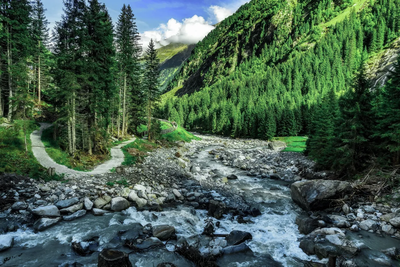
Environment &nature
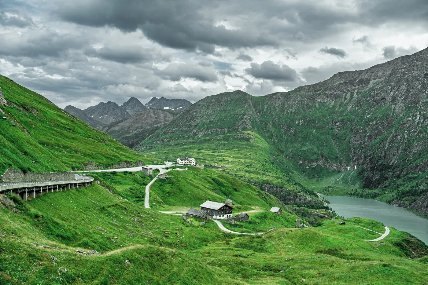
Digital analysis and visualisation of environmental and geodata as a basis for sustainable decisions.
- Data preparation & visualisation
Monitoring &surveillance
Continuous monitoring of natural processes and structures – automated and reliable.
- Slope and deformation monitoring
- Groundwater and precipitation measurements
- Sensor technology & real-time data
- Early warning and alerting systems
Natural hazard management
Digital solutions for detecting, assessing and monitoring natural hazards.
- Mass movements & landslides
- Flooding & erosion
Construction &infrastructure
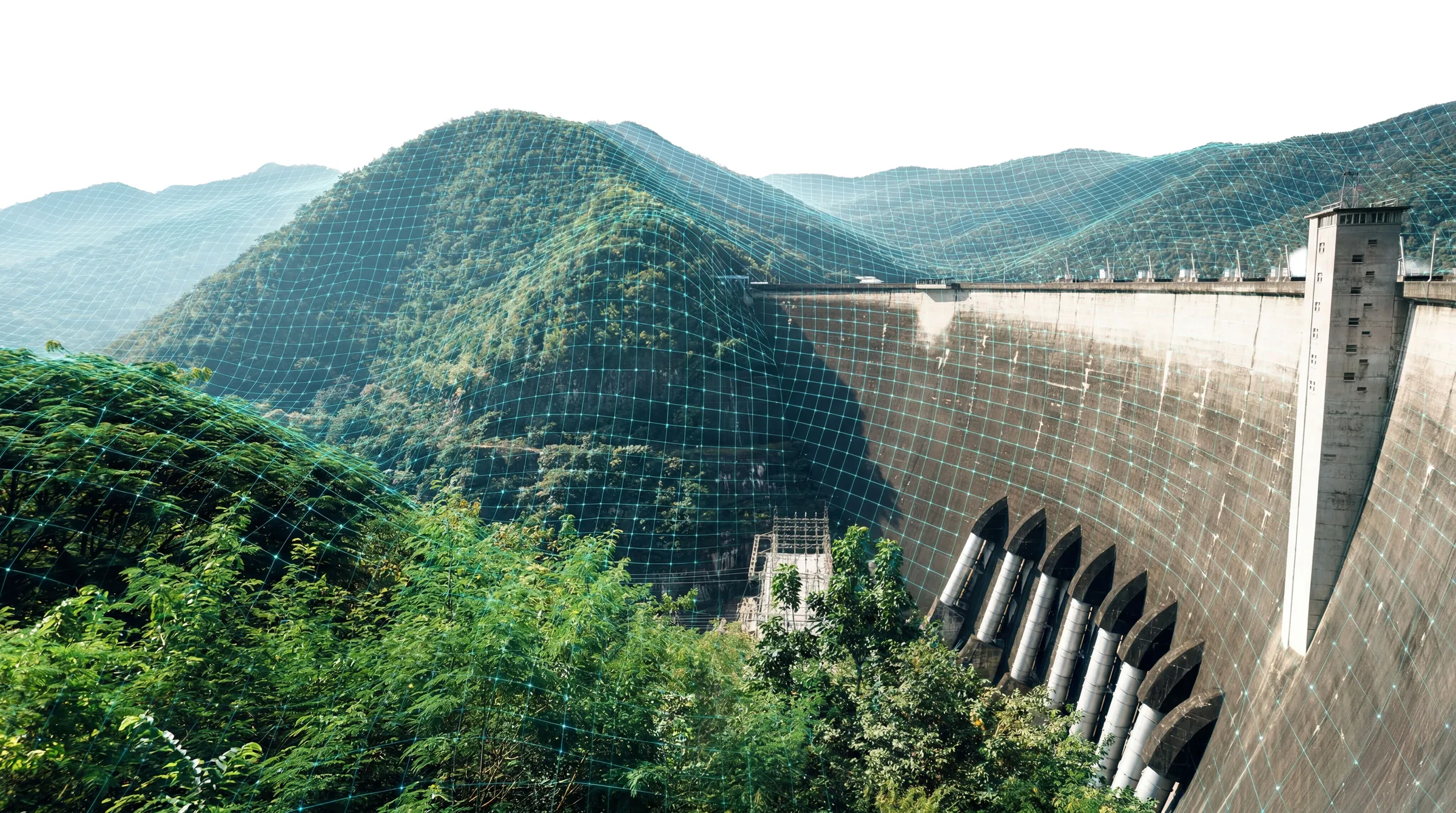
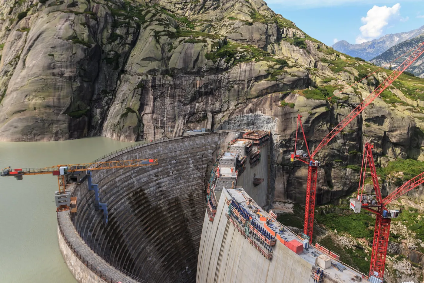
Monitoring solutions for construction projects and existing infrastructure – from the building phase through to operation.
- Collection of inspection data
- Structural monitoring
- Settlement and displacement measurements
- Long-term monitoring & reporting
How Geolytic works
Record
Field measurements, sensor technology and existing geodata.
Analyse
Digital evaluation, modelling and intelligent data processing.
Assess
Interpretation of the data and risk assessment by specialists.
Inform / Alert
Clear dashboards, reports and alerts as a basis for well-founded decisions.
let’stalkabout
Would you like to understand natural processes better and identify risks early?
We are happy to advise you on your project and develop a suitable digital solution.